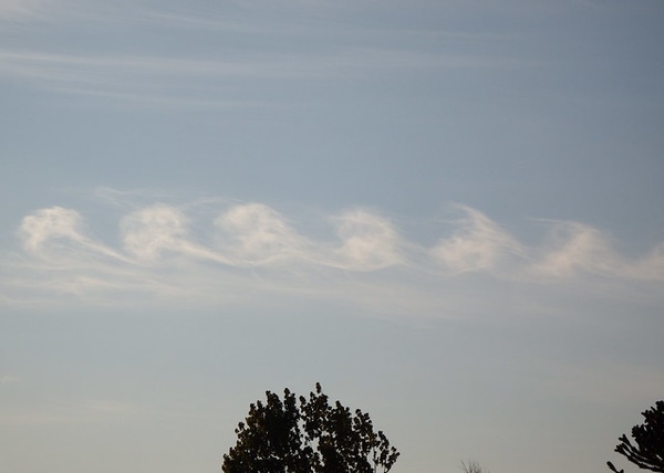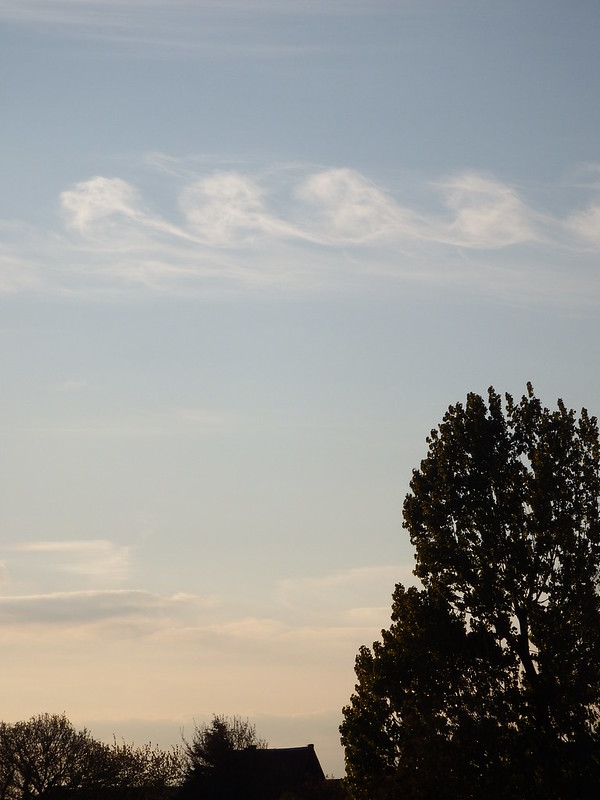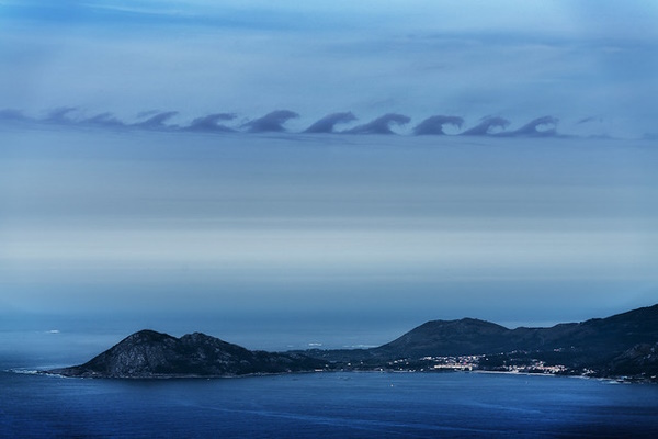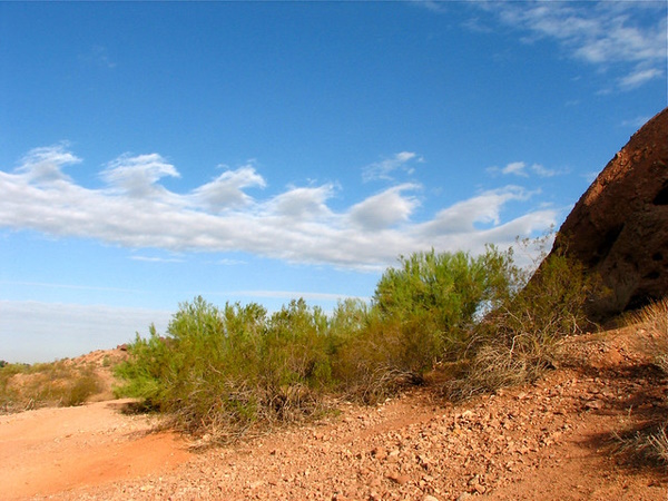
Kelvin-Helmholtz Clouds are a rare weather phenomenon whose rolling, curling, wavy procession across the sky can be both beautiful and frightening.
Send In The Clouds

Kelvin-Helmholtz Clouds are commonly known as Wave Clouds or more ominously, Tsunami Clouds. Their distinctive appearance is a visual manifestation of Kelvin-Helmholtz Instability: a fluid instability resulting from a difference in velocity where two fluids meet. “Fluids”, in this case, denotes air masses infused with water vapor.
The phenomenon is named for British mathematical physicist Sir William Thomson Kelvin and German physician and physicist Hermann von Helmholtz. The shearing effect where the layers meet – known not surprisingly as “velocity shear” – causes one of the layers to distort the other in a regular pattern: a classic wave shape, in repetitive mode. (images via fdecomite)
Shearing Aid

Though the vast majority of us have only seen Kelvin-Helmholtz Instability in the form of oceanic waves, it can also be seen (albeit much more rarely) in clouds. Compared to the water in lakes and oceans, different layers of air don’t usually maintain their heterogeneity when they come into contact over a wide area.
These conditions can and do occur, however. When the two air masses are moving at contrasting speeds, regardless of their directions and even more so when the air layers differ markedly in temperature, conditions are ripe for the formation of Kelvin-Helmholtz Clouds. (image via N O E L | F E A N S)
Re Crested

Such was the case on Friday, December 16th, 2011 when observers in and around Birmingham, Alabama, were shocked to see a series of tall, crested waves moving slowly in unison across the morning horizon. Worried callers to local newspapers and weather stations wondered what these strange “Tsunami Clouds” were – and what, if anything, their appearance portended.
“There is probably a cold layer of air near the ground where the wind speed is probably low. That is why there is a cloud or fog in that layer,” explained Chris Walcek, a meteorologist from the Atmospheric Sciences Research Center at SUNY Albany. “Over this cloudy, cold, slow-moving layer is probably a warmer and faster-moving layer of air.” (image via Clint Tseng, click on link to view full size)
Clouds not cutting it for sun protection? Check out Heavy Metal Wrap: Foil Covered Florida House!


